High-Resolution Satellite Data

Take advantage of the most extensive and accurate surveillance solutions, with optical and radar satellite imagery, and a wealth of related products and services for smarter decision making.

LocateIT is a reseller of Airbus’ very high to high resolution optical and Synthetic Aperture Radar (SAR) satellite imagery.
The resellership covers the following products: 

  • Pleiades imagery (50 cm resolution); 
  • Spot6 and 7 (1.5m panchromatic, 6m Multispectral 4 bands); 
  • Spot 5 (5m and 2.5m resolution); 
  • Spot 10m; Spot 20m; TerraSAR-X (Resolution: 0.25m / 1m / 3m / 18.5m / 40m);
  •  Formosat 2 (2m Panchromatic, 8m multispectral 4 bands); 
  • Deimos 1 (22m resolution); 
  • Elevation 10 (Digital Surface Model) (5m absolute height accuracy at 10 m grid spacing); 
  • Elevation 30 (8m vertical accuracy).
  •  

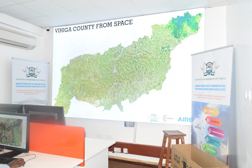
With exclusive access to Pléiades, Pléiades Neo, SPOT, DMC Constellation, Radar Constellation, Airbus and LocateIT partnership provides extensive portfolio that spans the entire geo-information value chain and is unrivalled in the marketplace. These products provides decision makers with integrated, sustainable solutions to increase security, optimise mission planning and operations, boost operational performance, improve management of resources, and protect our environment.


Scroll to top