The design installation has been done in manner that is responsive to the needs of the County Government of Vihiga and its stakeholders, hence support the functions of the county government of Vihiga; support the implementation of the Vihiga’s CIDP and development of sectoral plans, spatial plan and municipal plans; facilitate public participation in county planning and development and promote the transparency, accountability and overall governance.
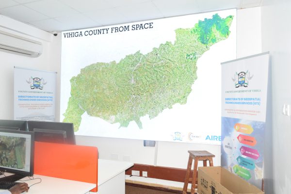
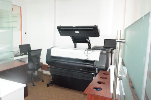
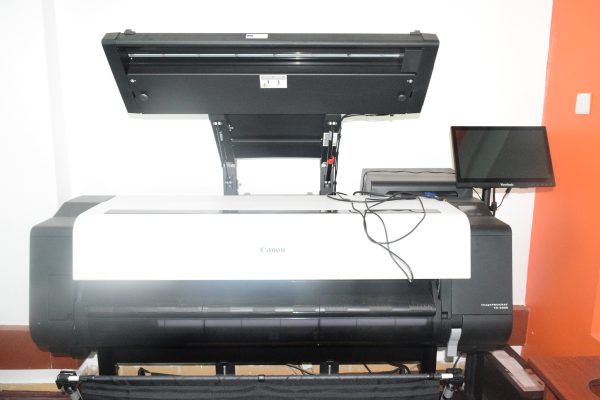
LocateIT also undertook capacity development for the Seven Vihiga County GIS facilities. This included training of key staff, installation of available datasets (satellite imagery, existing scanned maps, existing GIS layers, etc.), establishment of an analogue and digital GIS library, etc.
LocateIT also is providing technical advice and backstopping to the county Government of Vihiga (more so, the GIS Section) for 6months after commissioning of the GTS Lab.